Laser Mountain Maps are currently available for digital download in the Avenza Maps app. So how does it work? Here we answer your questions.
Avenza Maps questions
Head to the Avenza Maps website for links to download on the App Store or get it on Google Play.
Yes, there is a free version of the app! You create an account when you first use it, which is associated with any maps you download. You then pay to download individual maps (although some maps are also free – including one of ours!).
Paid versions of the app also exist which give access to additional in-app features. However, many users will find the free version perfectly adequate for browsing a map and using GPS to locate themselves on it. See the Avenza Maps pricing page for a comparison of subscription plans.
Browse the map store on your PC by heading to the Avenza Map Store, or from the app via the “Store” screen. Search by location on a map or by typing a placename. Search with various filters such as category (all ours are listed under “Trails”), Activity (e.g. cycling, hiking, camping), product (individual or bundles), price range or publisher.
Yes each map will show a price. On the web from your PC the prices are shown in $$ US Dollars (it is a US-based app company). In the app the prices are in your local billing currency (££ GB pounds sterling in the UK).
You need an internet connection to purchase and download maps to the app on your phone. However, do this from the comfort of your home, and over WiFi to save mobile data usage. Once out on the hill you do not need mobile phone or internet connectivity to browse your download maps.
Have a look at App Features on the Avenza website.
Unfortunately not. Maps acquired via the Avenza Map Store are exclusively in digital format for use only in the Avenza Maps app. However, in future we anticipate making Laser Mountain Maps available in paper form.
Laser Mountain Maps
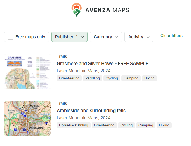
Click the “Publisher” filter when searching for maps and select “Laser Mountain Maps”. Alternatively use this link for all Laser Mountain Maps published in the Avenza Map Store. You can read about our first map of Ambleside and surrounding fells in our introductory blog post.
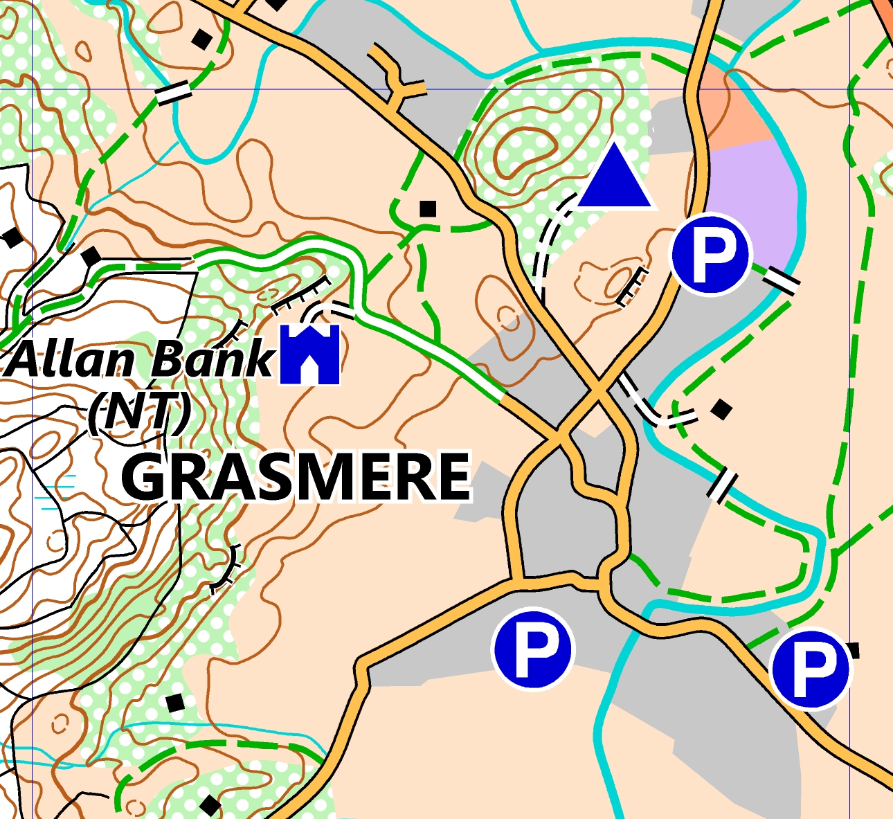
Yes! We have a Free Grasmere map covering Grasmere (village and water) and nearby Silver How (a “Wainwright” summit). Download this to familiarise yourself with the mapping and legend in our maps, and plan short walks from the village of Grasmere.
Like us on facebook to get regular updates.
More questions?
If you have a further question, feel free to get in touch with us at [email protected] and we’ll be happy to help.

