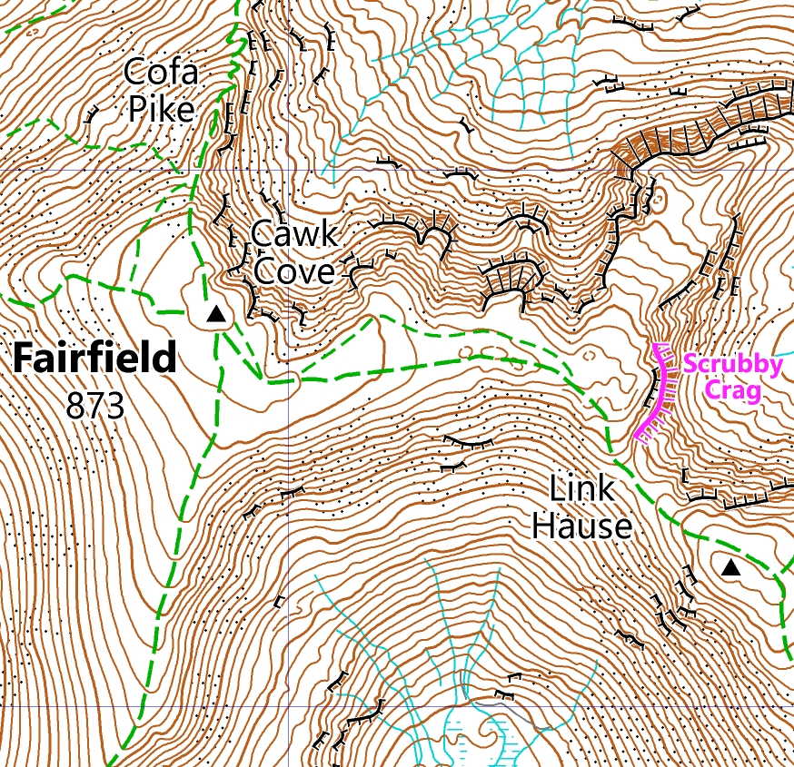
Welcome to Laser Mountain Maps – the next generation of leisure maps in the Lake District. Detailed 1:25,000 scale maps suitable for all variety of activities. Rambling, fell-walking, road cycling, gravel biking, mountain biking, rock climbing, sightseeing and wild swimming – you name it, we’ve got you covered.
Our maps are available in digital form via the Avenza Maps app. Key features:
- Convenience of a map on your phone
- GPS to locate your position
- Zoom in to see the fine detail
- Zoom out to get an overview.
Upcoming blog posts will highlighting key features of Laser Mountain Map’s clearest mapping on the market today. This includes modern symbology and latest features and attractions such as wild swimming spots and gravel biking trails.
See our next blog post for how use the Avenza Maps app. This covers how to download on the App Store or get it on Google Play, and how to use it to access Laser Mountain Maps.
First map
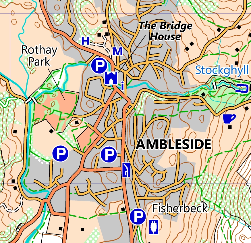
Our first map available covers Ambleside and the surrounding fells:
- Towns: Ambleside, Grasmere, and Elterwater.
- Surrounding fells: Fairfield, Red Screes, Loughrigg Fell, Helm Crag, Wansfell Pike and 22 other Wainwrights.
- Features: Lake Windermere, Rydal Hall, Easedale Tarn, Kirkstone Pass, Wray Castle, and Dove Cottage.
More maps coming soon
Look forward to more titles being published soon. See the growing range of Laser Mountain Maps on the Avenza map store. We will also be offering printed maps in future.
Bespoke maps
As well as off the shelf maps we create custom maps for events. These can be fell races, trail races, mountain marathons, and charity events. Laser Mountain Maps can be adapted to the needs of any race or challenge event. This includes printing at any size and customising with additions such as course overprint, information, event title and logos. Get in touch at info@lasermountainmaps.co.uk if you need map for your next event.