An insights into the latest technology and processes used in making Laser Mountain Maps
Using Lidar in making Laser Mountain Maps
We create Laser Mountain Maps using Lidar (Light Detection and Ranging) – data obtained by laser scanning from an aircraft. This is a relatively new technology, and we are excited to bringing you the very latest. The Environment Agency commissioned the scanning of The Lake District and released the results in 2021 as open data. Laser Mountain Maps are the first leisure maps to be based on Lidar. As such, positions and heights are extremely accurate and the maps work perfectly with GPS devices including watches and smartphone apps.
The Laser Mountain team process the raw Lidar data to create a “terrain model” – the ground surface shown by contour lines – and a “surface model” showing vegetation heights. We use other layers to map walls, buildings and water features.
Contour interpretation
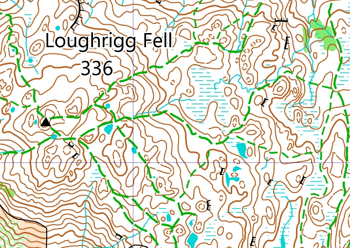
Laser Mountain Maps have a contour interval of 10m. In a few places, we use an intermediate contour (or “form-line”) to show additional detail. The Lidar-generated contours require careful editing, section by section, so they show the ground in a way that makes sense to the user and is clear to read. Experience in map-making is essential in this process. Our team first create a model with 2.5m contours, which we later delete these for clarity. However, they serve to give a complete picture, so we can adjust the final 10m contours to pick out features essential to the map-user.
Footpaths
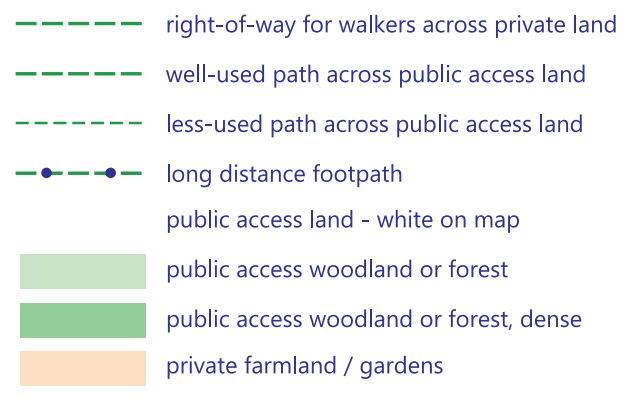
Laser Mountain Maps do not show public footpaths in areas of open-access land where they do not actually exist on the ground. However, other leisure maps do show non-existent footpaths and this has always caused confusion. The Countryside and Rights of Way Act 2000 (“CROW”) brought open access spaces to England and Wales, where the public have the right to walk or run anywhere, the existence of a public footpath has become largely irrelevant. We leave designated open access land (mostly the unenclosed fells) as white. We show private fields (where public footpaths are relevant) in pale yellow. And we use a special symbol to distinguish private woodland from open-access woodland.
All activities catered for
Laser Mountain Maps cater for activities which have only recently become popular in The Lake District. For example, we have different symbols to show bridleways smooth enough for gravel biking vs. rougher ones better suited to mountain biking.

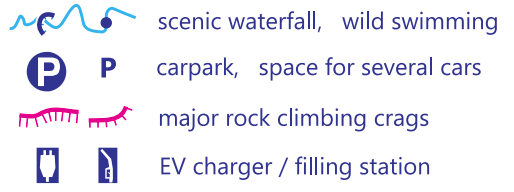
Laser Mountain Maps show wild-swimming spots. Also rock climbing crags, but we have carefully selected just those more frequently visited and currently in a safe condition. The Laser Mountain team participate in many activities including fell-walking, fell-running, adventure-racing, rock and ice climbing, cycling, swimming. We hope that we have covered all the bases!