We are excited to announce the publication of two new titles (in addition to Ambleside and surrounding fells and our Free Grasmere map).
Scafell Pike and central fells
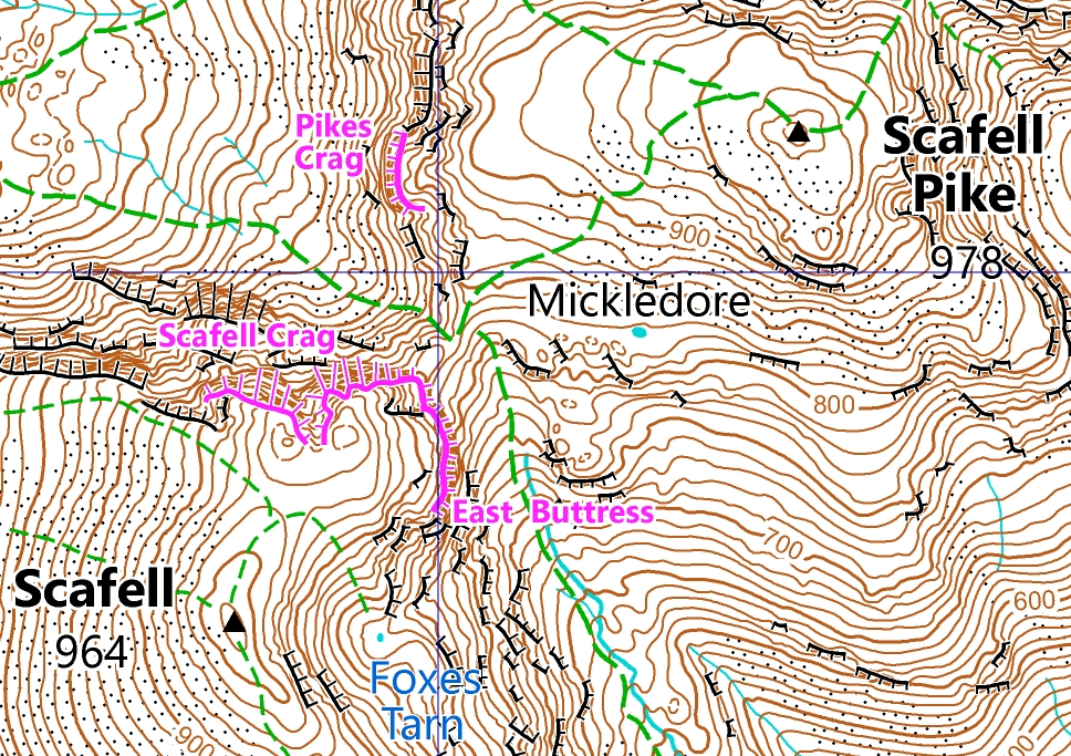
Summiting Scafell Pike – at 978m the highest peak in England – is a goal for many. As well as guiding you to the summit, our Laser Mountain Map will take you on many more adventures.
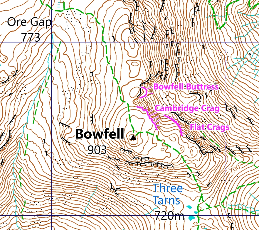
It covers the valleys of Wasdale Head and Great Langdale. From there you can hit 25 Wainwrights, including classics such as Scafell Pike, Bowfell, Great Gable and the Langdale Pikes.
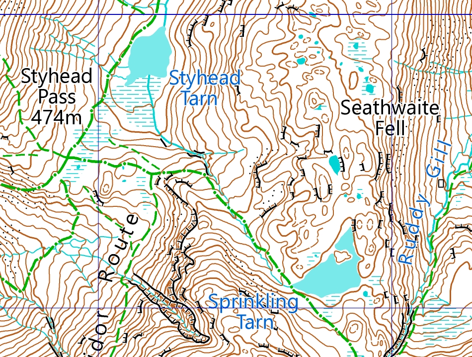
The map is not just for hiking. A wealth of mountain crags, carved from the volcanic rock by glaciers, await your rock climbing adventures. Marked in purple ink on the map to help you discover them. Or how about making a night of it, and camping out by the iconic Styhead Tarn? Whatever your adventure, we’ve got it covered with Laser Mountain Maps.
Find out more at Scafell Pike and the central fells.
Langdale and surrounding fells
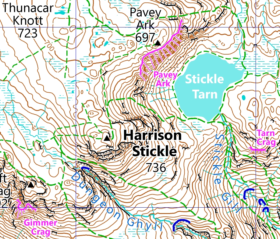
In the heart of the Lake District lies Great Langdale valley. Look up around the wonderous horseshoe of famous peaks including the Langdale Pikes, Bowfell and Pike of Blisco.
Some will choose just one, some will choose the whole Langdale horseshoe for an epic day out. For a more chilled day (it is all relative though!) why not just hike up to Stickle Tarn and take a dip. Or go rock climbing on the many crags around the valley. Whatever your adventure, enjoy a well earned pint, or coffee and cake, in one of the cafes marked back in the valley.
Find out more at Langdale and surrounding fells.
Get the maps now
All our maps are available exclusively on the Avenza Maps app. Find out about Using Avenza Maps, and head over to Lake District maps for the full list of titles.
More titles coming soon
Expect more titles coming soon, covering Keswick, Borrowdale and the North Western Fells. Be the first to find out by following us on Facebook.